

This pictorial map of East and West Prussia was produced in 1937. All of the major towns are pictorially represented on the map, notably with images of signature buildings, while the coat of arms of the towns line the edges of the printwork.
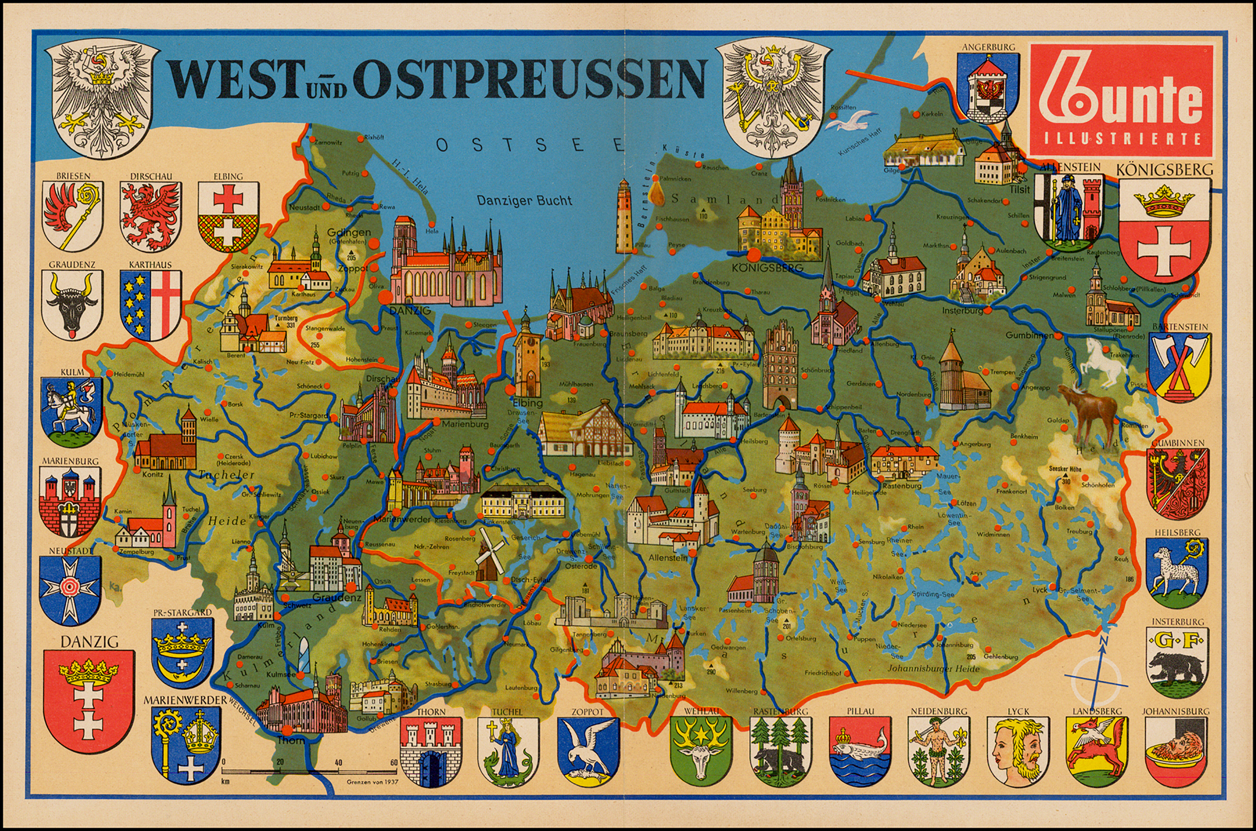
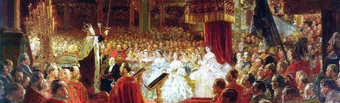
The body of water on top of map is named Ostsee which is the German name for the Baltic Sea. Many of the places depicted figured prominently in history and were German for 700 years. Most notably, East Prussia gave rise to the Kingdom of Prussia which eventually led the effort to reunite Germany in 1871.
A point of interest is that Thorn was the hometown of the astronomer Nicholas Copernicus, and Königsberg was the home of the philosopher Immanuel Kant.
Following World War II, this land plus Pommern, Posen, and Schlesien, was removed from Germany and all of its surviving German population was expelled, a criminal act that was a violation of the Geneva Convention. The southwestern area became a part of Poland, the northeastern areas became a part of the USSR, and the farthest eastern part became part of Lithuania.
Overall, 17 million ethnic Germans from former German territories and other countries were expelled from their traditional homelands. These 17 million people lost everything they owned, but they were the lucky ones…2 million of the expelled died during the largest forced migration in the history of the world.

Explore images on brand new products at my stores

Thank you for this!
LikeLike